Event Registration - Structural Engineers Association of Colorado
This event has completed.
SEAC Wind Study Sponsorships
12/12/2023 - 6/1/2025Event Description

Executive Summary
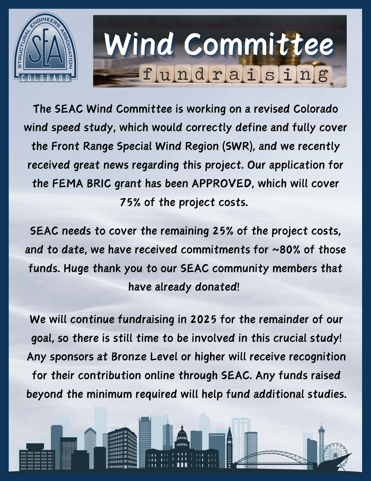
Recent changes to ASCE 7 wind provisions have wrought havoc along the Colorado front range, seeing mistaken shifts of the Special Wind Region (SWR) boundary, a transition from ~50-year to ~700-year reference wind speeds, a risk-targeted reduction to the mapped speeds along the SWR border, and more. SEAC and CPP have managed to limp along with the Front Range Gust Map from 2006 using conservative approximations based upon the limited data available at the time. Not only is this information is outdated, but no regional wind study has ever been performed south of Castle Rock -- leaving wind speeds for half of the mapped Colorado SWR undefined. Furthermore, the SWR boundaries in ASCE 7-16 and 7-22 remain incorrect, especially south of the Denver metro area where Pikes Peak is no longer included.Colorado needs a new study to correctly define and fully cover the CO SWR, and as before, we need to rely on SEAC members and their networks for funding and support of this significant effort, which is anticipated to cost on the order of $200,000. Fortunately, we have found a willing and enthusiastic partner in Colorado Department of Homeland Security and Emergency Management (DHSEM), which enables us to apply for Federal Emergency Management Agency Building Resilient Infrastructure and Communities (FEMA BRIC) funding to cover up to 75% of the costs. We must raise A minimum of $50,000 in funds by February 2024 in order to qualify for the FEMA BRIC grant. The SEAC board and NCSEA have already pledged $5,000, bringing us to 10% of this goal. For the remainder, we are turning to the SEAC membership, AHJs, corporate donors, and other interested parties.
This study will have a significant and beneficial impact on structural engineers in Colorado, and we thank you in advanced for your support! Please consider donating to the study and sharing this information with anyone in your network who may be interested in supporting this important endeavor. Any individual or firm who sponsors at the Bronze Level or higher will receive recognition for their contribution online through SEAC.
Sponsorships
Platinum - $10,000
Gold - $5,000
Silver - $2,500
Bronze - $1,000
Iron - $500
Contribution - $100
Credit cards, checks, and money orders are accepted through our secure online form. You will receive a “registration” email as a receipt for your sponsorship. Additionally, if you prefer you can skip the form and send a check made out to “SEAC” and marked “Wind Study” to:
SEAC
303 S. Broadway
Ste 200-345
Denver, CO 80209
Explanation of Study and Funding Process
The SEAC Wind Committee is in the process of submitting a grant application to the Federal Emergency Management Agency (FEMA) for funding using the Building Resilient Infrastructure and Communities (BRIC) program through a sub-application process at the Colorado Department of Homeland Security and Emergency Management (DHSEM) in order to fund efforts to update the Colorado Front Range Gust Map. Currently, DHSEM and FEMA have a “Code Plus-Up” program where applicants may apply for Federal Funding through FEMA to update building codes at state and/or local jurisdiction levels for the purposes of further reducing losses due to natural disasters like wind, earthquakes and floods. According to ICC, up-to-date codes have the potential to avert approximately $600 billion in losses due to disasters by 2060. Given this “Code Plus-Up” program, our proposal has a high likelihood of getting selected, and if we receive the grant, FEMA will cover up to 75% of the total project costs.The SEAC Wind Committee has submitted a Notice of Interest (NOI) through the state DHSEM, which has been accepted. On December 22, 2023, the SEAC Wind Committee submitted a draft sub-application to DHSEM with a final application due by mid-February 2024. The Committee will be very active during this time while coordinating with the state DHSEM to ensure that the sub-application is complete, correct, and appeals to FEMA and DHSEM reviewers for selection and approval. As a vital part of the application, the SEAC Wind Committee must provide a commitment to fund 25% of the total project cost. The anticipated project cost is $200,000, which means the SEAC Wind Committee will be responsible for providing a commitment of at least $50,000.
We believe that this update is necessary given recent updates to the ASCE7 standard and the limitations of the previous study. The Special Wind Region along the Front Range of Colorado is in place due to the localized effects of the thermally-driven downslope winds that occur on a regular basis in the region. These are familiar to anyone living in the area and are strong enough to govern the design wind speeds for the foothills and adjacent communities.
The Front Range Wind Speed Map was originally commissioned in the early 2000s to provide clarity and guidance for design wind speeds along the northern Front Range of Colorado. It was largely developed by Dr. Jon Peterka and his team at CPP Wind Engineering Consultants who, at the time, were primarily responsible for the design wind speed maps in ASCE 7.
For budgetary reasons, the original study concentrated on the northern portion of the Front Range as it covered most of the major population centers. However, it was always recognized that there was a large portion of the Special Wind Region to the south of the Denver metropolitan area that would benefit from similar treatment in both determining appropriate design wind speeds and refining the extent of the area to which such provisions should apply.
The original study was conducted to be consistent with the requirements of ASCE 7-05, which had its foundations in Allowable Stress Design (ASD) principles. As such, the analyses concentrated on predicting design wind speeds for a 50-year Mean Recurrence Interval (MRI). With the introduction of ASCE 7-10 and the evolution towards reliability-based approaches, the Front Range Wind Speed Map was updated to include 700-yr and 1700-yr MRI wind speed contours. This was further updated to incorporate 3000-yr MRI values when this return period was added to ASCE 7-16 for Risk Category IV buildings.
The updates for longer return period MRIs were done by adjusting the earlier values by a conversion factor that is commonly used for non-downslope winds. Recent investigations indicate that this is likely conservative for downslope winds, resulting in higher-than-optimal predicted wind speeds for the new longer MRIs. Current analysis techniques, with the additional ASOS (Automatic Surface Observation Station) wind data that has been available since the mid-1990s, allows storm separation techniques to build a more accurate wind climate model showing the relative contribution of different storm types at different MRIs. This should allow design wind speeds in large portions of the northern Front Range SWR to be reduced from current values and align better with reality.
The primary purposes of the currently proposed study are twofold:
- To update the current Front Range Wind Speed map using state-of-the-art analysis techniques with the additional data available since the original study to refine design winds speeds to be adopted within the region.
- To extend the map south to cover the entire Front Range, including additional major population centers such as Colorado Springs.

